
Branstree - Lake District Walk
Tuesday 5th December 2017
As we had woken up the day before to no heating we were late setting off on this holiday and with Storm Caroline arriving tomorrow this was to be the only walk of the holiday. As the cloud was covering the higher summits we opted for a walk to Branstree, saving ourselves a couple of miles of walking by driving from the Haweswater Hotel to the lay-by a mile up the road.
Start: Lay-by Haweswater Road (NY 4795 1191)
Route: Lay-by Haweswater Road - Corpse Road - Brown Howe - Mardale (394) - Selside Pike (395) - High Howes - Mardale (396) - Branstree (397) - Gatescarth Pass - Mardale Head - Lay-by Haweswater Road
Distance: 5.5 miles Ascent: 572 metres Time Taken: 4 hrs 50 mins
Terrain: Predominantly on clear paths
Weather: Mainly dry, with a cold wind.
Pub Visited: Haweswater Hotel Ale Drunk: Black Sheep Bitter
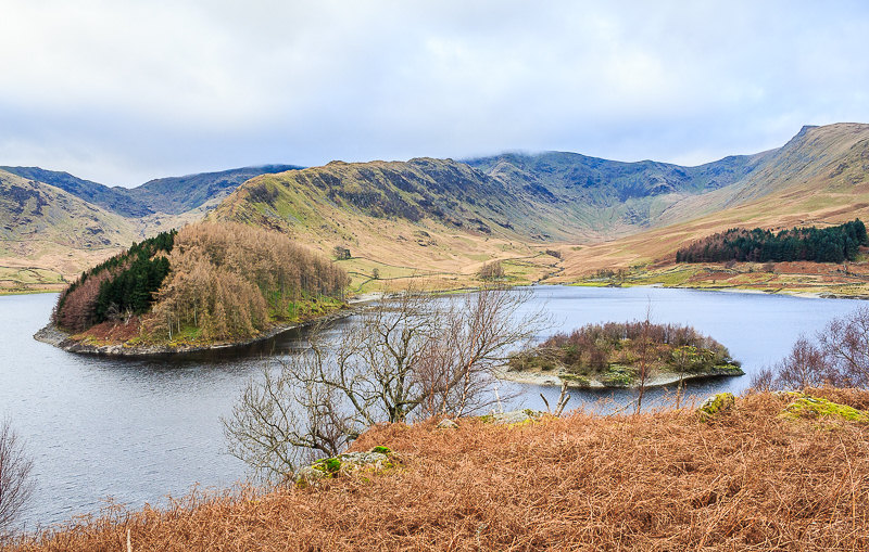
Although it is only a mile down the road from the hotel given the time of year and the cloud base we decide to drive to the start to try and ensure we don't get caught out with failing light. From the lay-by we had a fine view across the reservoir towards The Rigg.
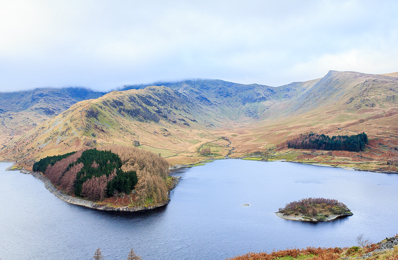
We start by ascending the Corpse Road and soon have a great view into Riggindale.
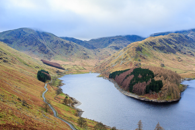
As we climb the view continues to improve, here looking towards Mardale Head. The summit of Mardale Ill Bell never emerged from the clouds all day.

This cairn encouraged us off the path for another look along the valley, here looking along the shoulder known as Brant Street, which was our planned route to Branstree.
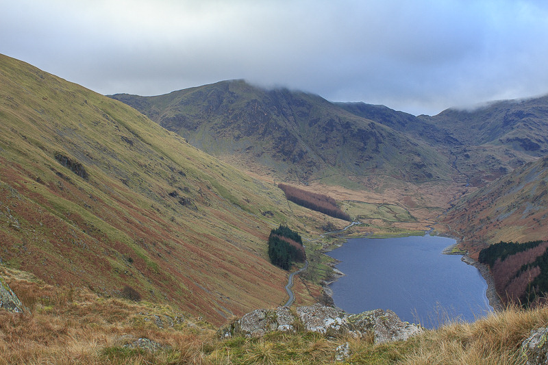
Harter Fell's summit is still in cloud, although it would appear for a short period later on in the walk.
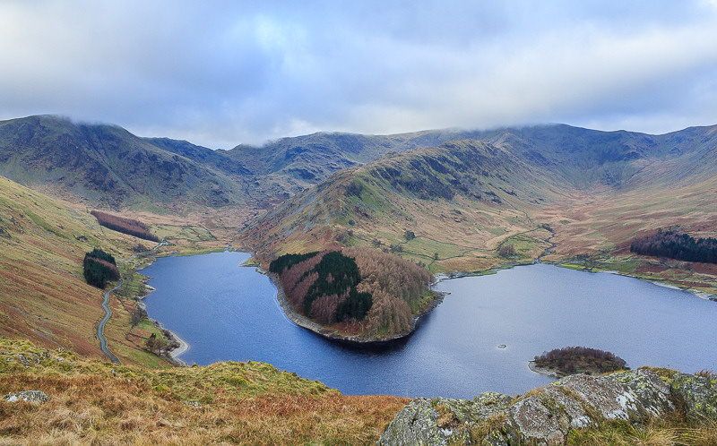
The route to Rough Crag is clearly visible from here, it was the first choice for today's walk, but I didn't fancy wandering around in the cloud on the top.
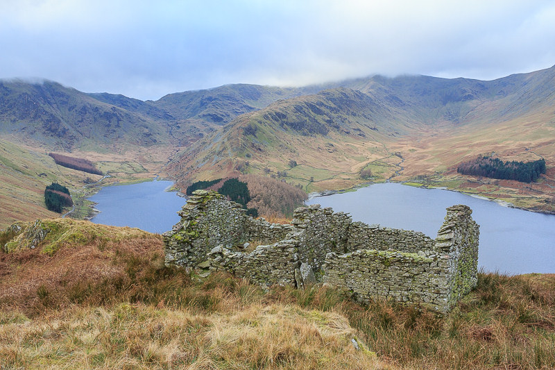
The first of two abandoned buildings that we passed.
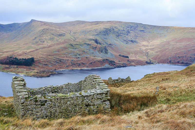
Kidsty Pike and High Raise, seen across Haweswater Reservoir.
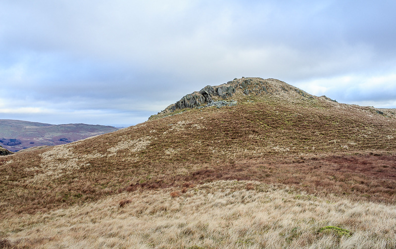
We divert off the Corpse Road to claim the summit of Brown Howe.
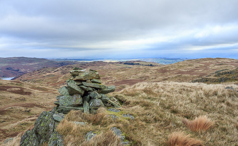
From the summit we have a good view across Mardale Banks to Hare Shaw and Naddle Forest. If it wasn't for Storm Caroline we would have been walking there tomorrow and I would have passed the four hundred mark for Birketts completed. Never mind they aren't going anywhere and it's a good excuse for a return trip next year.
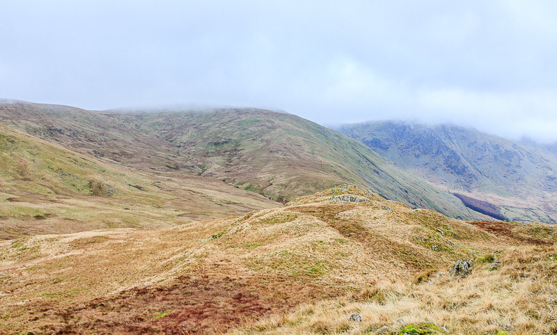
Looking around and the cloud is dropping again with the summit of Branstree now also in cloud.
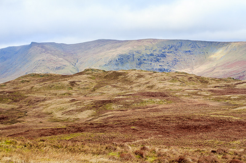
We soon regain the Corpse Road and then take the clear track to Selside Pike. Here looking back across Mardale Common to Brown Howe.
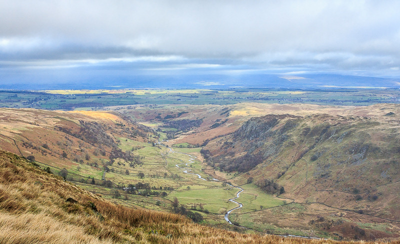
As we head along the track we get a good view of Swindale and and Swindale Common, where we were walking last month.
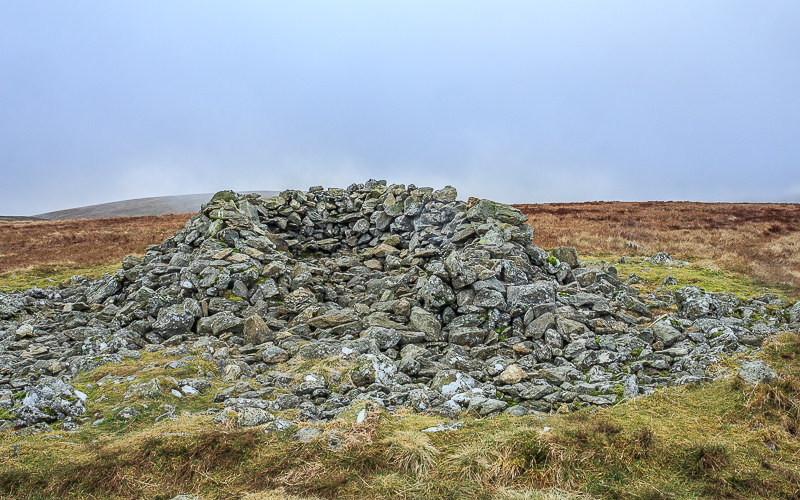
The bitter wind means we take advantage of the shelter on Selside Pike's summit for a coffee break.
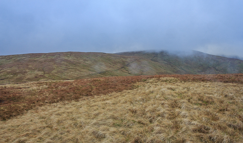
Looking across to the next summit of High Howes, which is clear of cloud and Branstree, which isn't.

The view in the opposite direction extends beyond Naddle Forest.
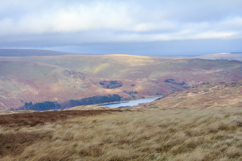
Although we might be about to get wet, on the other side of the valley Low Kop is lit up by sunshine.
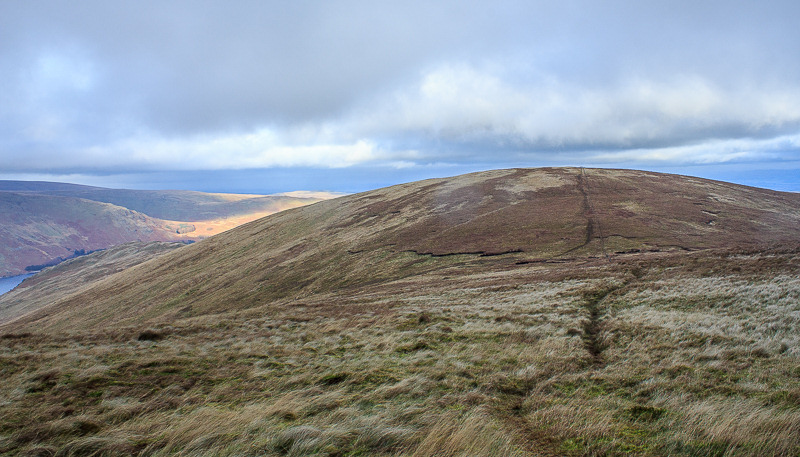
Looking back to Selside Pike as we follow the path to the summit of High Howes.

As we approach the summit the rain gets a little bit heavier.
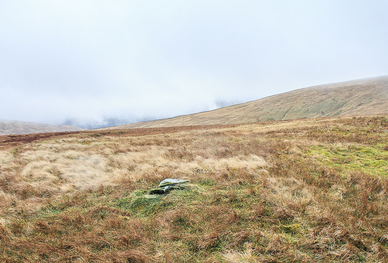
Time to grab a quick photo of the cairn before the camera gets packed away.
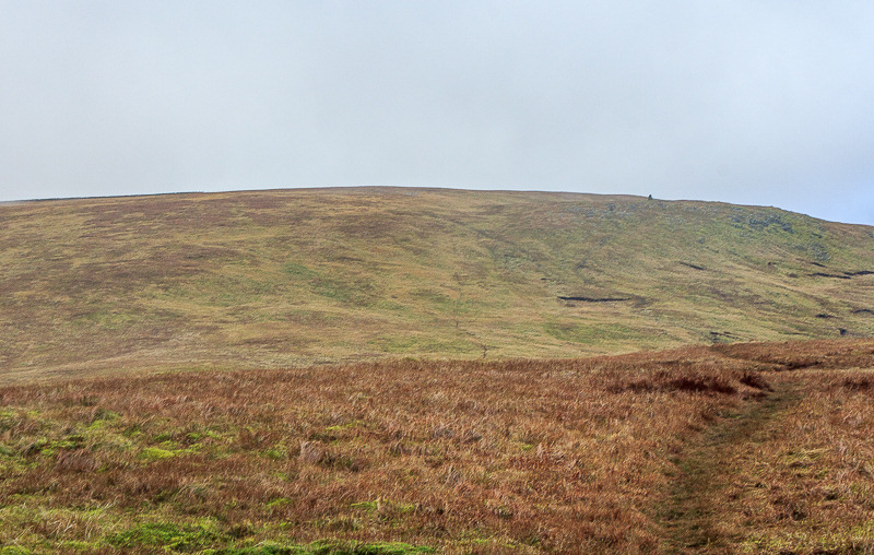
Although we are caught in the rain the summit of Branstree is finally clear of cloud.
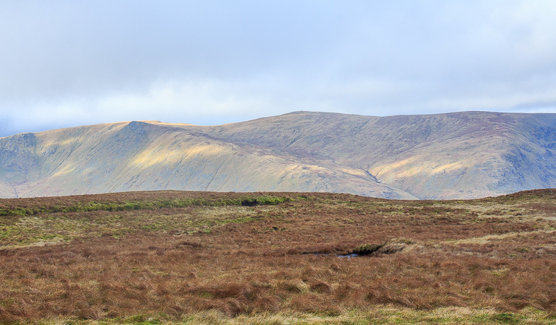
No sooner is the camera put away than it is out again as Kidsty Pike is lit up by the sun.
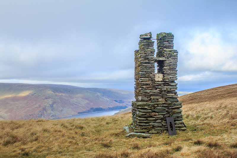
As we head to Branstree we pass one of the old survey pillars.
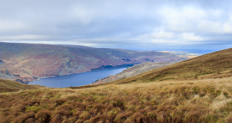
There is fine view of the reservoir from here.
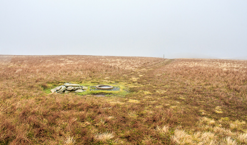
By the time we reach Branstree's summit it is back in cloud so there are no views to admire.

The summit is marked by a sunken trig, the second I've come across in a month.
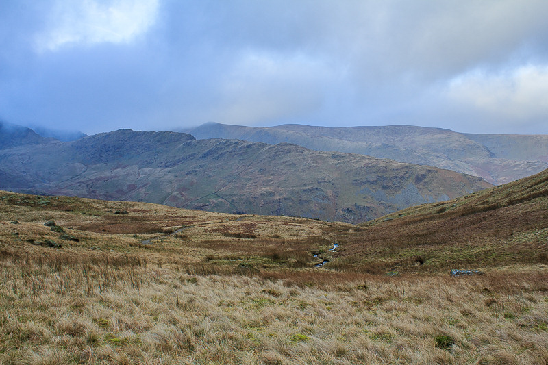
We follow the fence and make a quick, easy descent out of the cloud down to Gatescarth Pass.

Mardale Head comes into view.
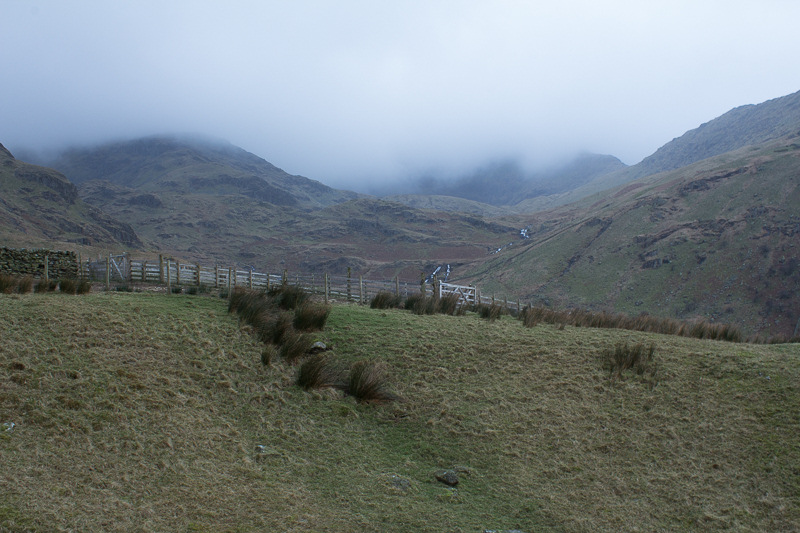
Looking around the cloud base appears to have descended with us.
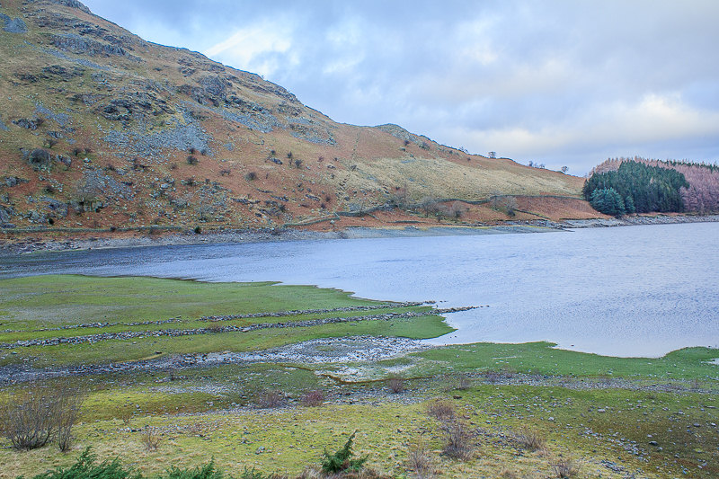
The old road is visible at the head of Haweswater Reservoir.
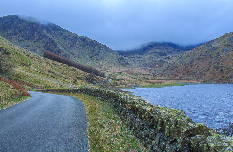
As we approach the car the view back towards Mardale Head continues to show the cloud base dropping.
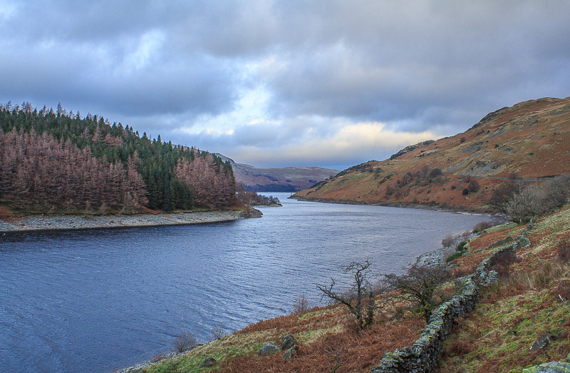
It looks like the last of the sunshine is now to be found at the far end of the valley. Time to see if they have lit the fire in the hotel.
All pictures copyright © Peak Walker 2006-2023